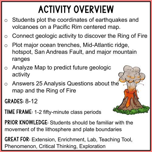
In this fun and engaging ring of fire mapping activity, students will plot the coordinates of past earthquakes and volcanoes along the ring of fire using an easy to read Pacific-centered world map.
Students will use coordinates to draw geologic features on their maps such as volcanoes, earthquakes, trenches, mountain ranges, hot spots, and mid-ocean ridge. After the map is complete, students will answer 25 analysis questions.
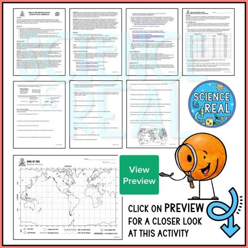
This is one of my best-selling activities because students really get a lot of learning and enjoyment out of it! The clear step-by-step directions makes this a great independent assignment! Check out the preview to see what the map will look like finished!
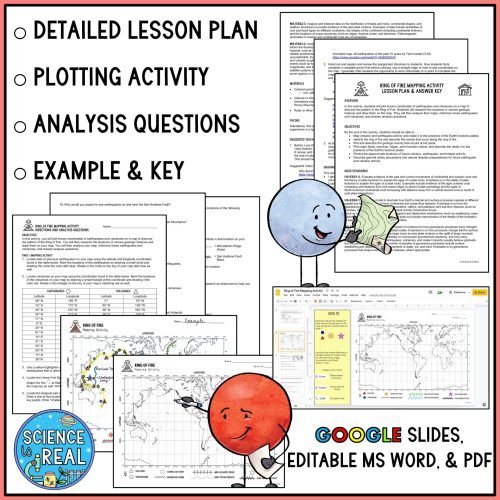
Ring of Fire Mapping Activity Includes
- Detailed Lesson Plan
- Blank Map with Legend
- Example Completed Map
- Step-By-Step Student Directions
- 25 Analysis Questions
- Answer Key for Map and Questions
PDF Version, Editable MS Version, and Google Slides Version (with drag and drop for map) are all included in your download!
By the end of this ring of fire mapping activity, students will be able to…
- Map volcanic and earthquake activity and relate it to the positions of the Earth’s tectonic plates
- Discover and identify the ring of fire and describe the events that occur along the ring of fire
- Plot and describe the geologic activity that occurs at hot spots
- Plot and describe the events at faults, trenches, ridges, mountains, and hotspots
- Predict the approximate locations for future volcanic, earthquake, and hotspot activity
- Describe general safety precautions and natural disaster preparedness for future earthquake and volcanic activity
I like to use this activity after viewing this Ring of Fire video with worksheet