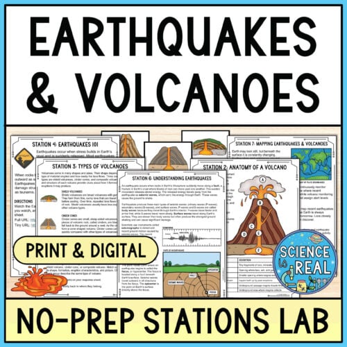
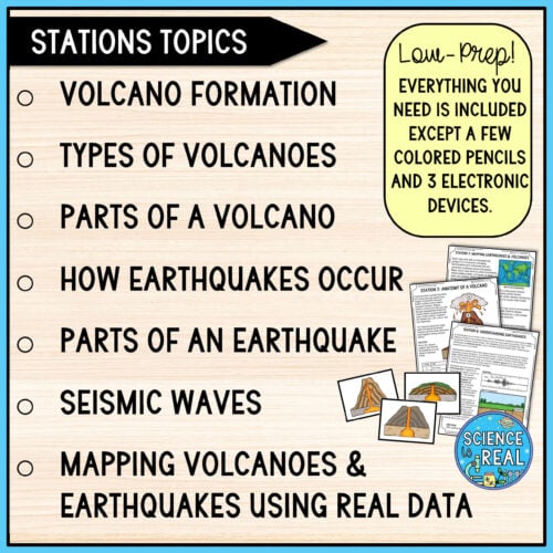
These earthquakes and volcanoes stations give students a structured, engaging way to explore how volcanoes form, why earthquakes happen, how seismic waves travel, and how tectonic activity shapes Earth’s surface.
Students explore each topic through short readings, diagram analysis, card sort, a vocabulary domino puzzle, seismic wave comparisons, and real-time USGS earthquake and volcano mapping.
Every station includes student-friendly background information and clear directions so students can work through the activities with minimal teacher assistance. Minimal prior knowledge needed!
Earthquakes and Volcanoes Stations Overview:
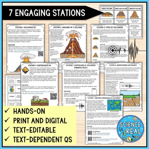
- Station 1: Volcanoes 101: Students watch a short National Geographic video and answer questions about volcano locations, eruptions, pyroclastic flows, the Volcanic Explosivity Index, and Mount Tambora.
- Station 2: Anatomy of a Volcano: Students analyze a composite volcano diagram, identify major volcanic structures, and trace how magma moves from the magma chamber toward Earth’s surface.
- Station 3: Types of Volcanoes: Students compare shield volcanoes, cinder cones, and composite volcanoes by sorting pictures and characteristics related to shape, formation, and eruption style.
- Station 4: Earthquakes 101: Students watch a short National Geographic video and answer questions about earthquake locations, causes, magnitude, seismographs, and earthquake-resistant structures.
- Station 5: Earthquakes & Volcanoes Domino Puzzle: Students review key earthquake and volcano vocabulary by arranging 12 dominoes into one continuous chain of matching terms and clues.
- Station 6: Understanding Earthquakes: Students read about faults, seismic waves, the focus and epicenter, seismographs, and magnitude. They compare body and surface waves and label an earthquake diagram.
- Station 7: Mapping Earthquakes & Volcanoes: Students use live USGS data to map recent earthquakes and monitored volcanoes in North America, record earthquake magnitudes, and analyze patterns in where tectonic activity occurs.
These earthquakes and volcanoes stations are a fun way to get students moving, collaborating, analyzing diagrams and data, and applying what they learn about volcanoes, earthquakes, seismic waves, and plate tectonics in a variety of meaningful ways.
Get this stations lab and more in my growing Earth Science Stations Bundle – on sale now!
Super Low Prep!
- All you will need are three electronic devices for videos and interactive maps and a few colored pencils. Everything else is included!
- With the included teacher’s guide and lesson plan, you will receive setup instructions, pacing suggestions, grading ideas, NGSS connections, and a quick-view chart showing the topic, materials, and activity for every station.
- Students can complete the stations independently, with partners, or in small groups. Stations do not need to be completed in numerical order and can be spread across one or more class periods.
Earthquakes and Volcanoes Stations Download Includes:
- 7 Stations Cards (text-editable PPT and PDF)
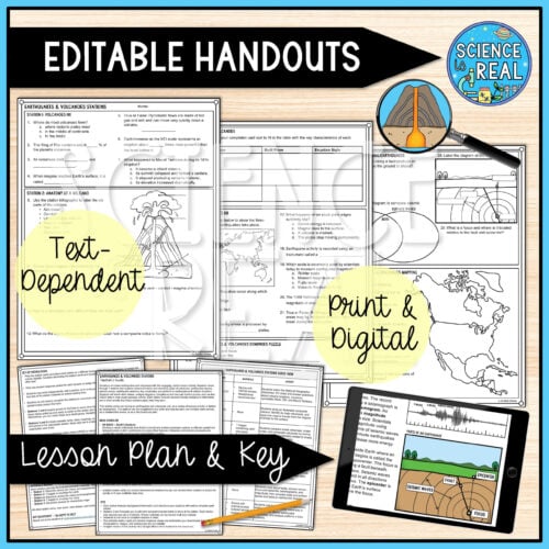
- Student Answer Sheet (text-editable PPT and PDF)
- Teacher’s Guide and Lesson Plan
- Original Content, Diagrams, Card Sorts, and Activities
- Answer Key
- Google Slides Version of the Activity
*This activity is designed to take about one-to-two 50-minute class periods. It is editable to meet your needs and time constraints.
MORE EARTH SCIENCE ACTIVITIES
PURCHASE ON TPT